Background
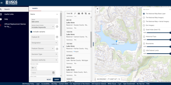
The Geographic Names Information System (GNIS) is the Federal and national standard for geographic nomenclature. The U.S. Geological Survey's National Geospatial Program developed the GNIS in support of the U.S. Board on Geographic Names as the official repository of domestic geographic names data, the official vehicle for geographic names use by all departments of the Federal Government, and the source for applying geographic names to Federal electronic and printed products.
The GNIS contains information about physical geographic features of many types in the United States, associated areas, and Antarctica, current and historical, but not including roads and highways or cultural features. The database holds the Federally recognized name of each feature and defines the feature location by state, county, USGS topographic map, and geographic coordinates. Other attributes include names or spellings other than the official name, feature designations, feature classification, historical and descriptive information.
The GNIS Feature ID, Official Feature Name, and Official Feature Location are American National Standards Institute standards as specified in ANSI INCITS 446-2008 (Identifying Attributes for Named Physical and Cultural Geographic Features (Except Roads and Highways) of the United States, Its Territories, Outlying Areas, and Freely Associated Areas, and the Waters of the Same to the Limit of the Twelve-Mile Statutory Zone). The standard is available at the ANSI Web Store.


